
A Stormy Summer in the Northern Hemisphere
(Inside Science) -- Hurricane season is upon us. Storm after storm, some of unusual intensity, have made landfall across the world. This month, we examine five storms that have affected people across the Northern Hemisphere during this season of meteorological unrest.
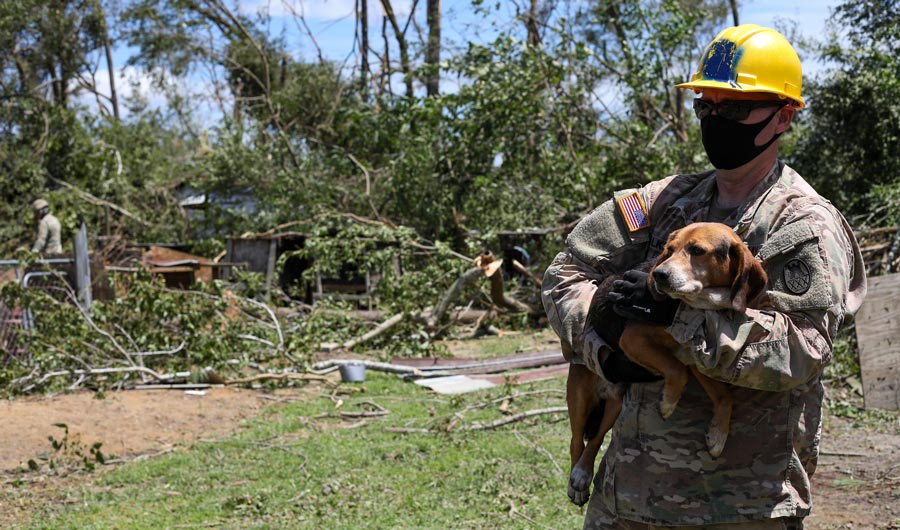
On August 4, Hurricane Isaias hit landfall in North Carolina. Unlike more typical tropical storms, the hurricane was able to maintain its strength on land and spawn tornados in its wake. Two people were killed as a result of one of the tornados tearing apart a community of mobile homes in Windsor, North Carolina. Here, a U.S. Army Sergeant helps a resident gather his dog as part of the National Guard’s assistance to Windsor civilians affected by the storm. (North Carolina National Guard)
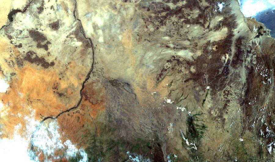
Torrential rainfall caused major flooding across Sudan earlier this month. Fourteen out of 18 states in the country reported being affected. The Coordenação Geral de Observação da Terra -- part of Brazil’s National Institute for Space Research -- captured this image as part of their Disasters Charter. (INPE)

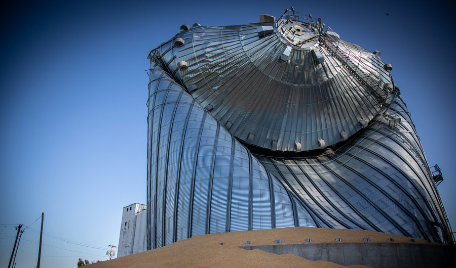
In Iowa, a series of severe thunderstorms, known together as a “derecho,” ravaged Jackson County. Phil Roeder pictured this huge grain bin -- the tallest structure in Des Moines -- collapsed in on itself, spilling thousands of bushels of corn. The storm was unique in that its winds climbed to speeds of 140 mph -- an intensity typically seen once a decade. (Phil Roeder)
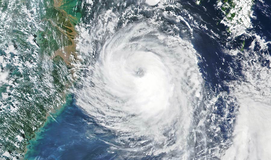
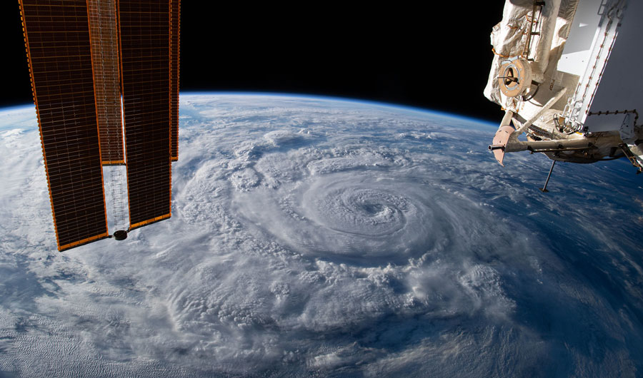
NASA’s Visible Infrared Imaging Radiometer Suite captured this image of Typhoon Bavi swirling towards the Korean Peninsula on August 25. Just to the left of the storm is Shanghai and the coast of China. Bavi is the eighth tropical storm of the Pacific typhoon season this year. (NASA)